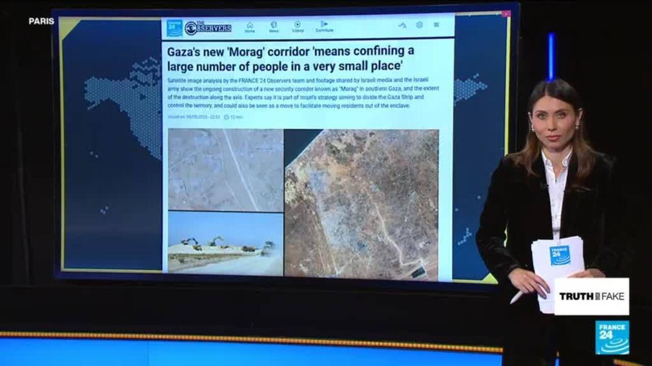
Gaza's Morag corridor: What does satellite imagery show us?
Middle East
To display this content from YouTube, you must enable advertisement tracking and audience measurement.
One of your browser extensions seems to be blocking the video player from loading. To watch this content, you may need to disable it on this site.

Issued on:
04:43 min
From the show

FRANCE 24's The Observers team has analysed a series of satellite imagery, including Israeli media and army footage, that shows us the latest developments regarding the construction of the IDF's Morag corridor in Gaza. The corridor is a crucial part of the final steps for Israel's "conquest of the Gaza Strip" plan. We tell you more in this edition of Truth or Fake.
Advertising
Related keywords
